
Upstate New York Winter Got You Down? Grab Your Co-Pilot, Get In The Car and Go
Follow our route or come up with your own—and bring your camera for the memories.
Winter in Upstate New York.
Not going to lie: It wears on the best of us.
Especially when the groundhog (here, in Schoharie County, we just call them woodchucks, but you do you, Pennsylvania, it’s all the same in the end) is a big, fat liar.
Maybe this was the winter you were going to paint the bedroom. And even though you settled on a color (Panatone 11-4201, because IYKYK), that’s as far as you’ve gotten with that project.
Or maybe, you were going to:
Learn to knit.
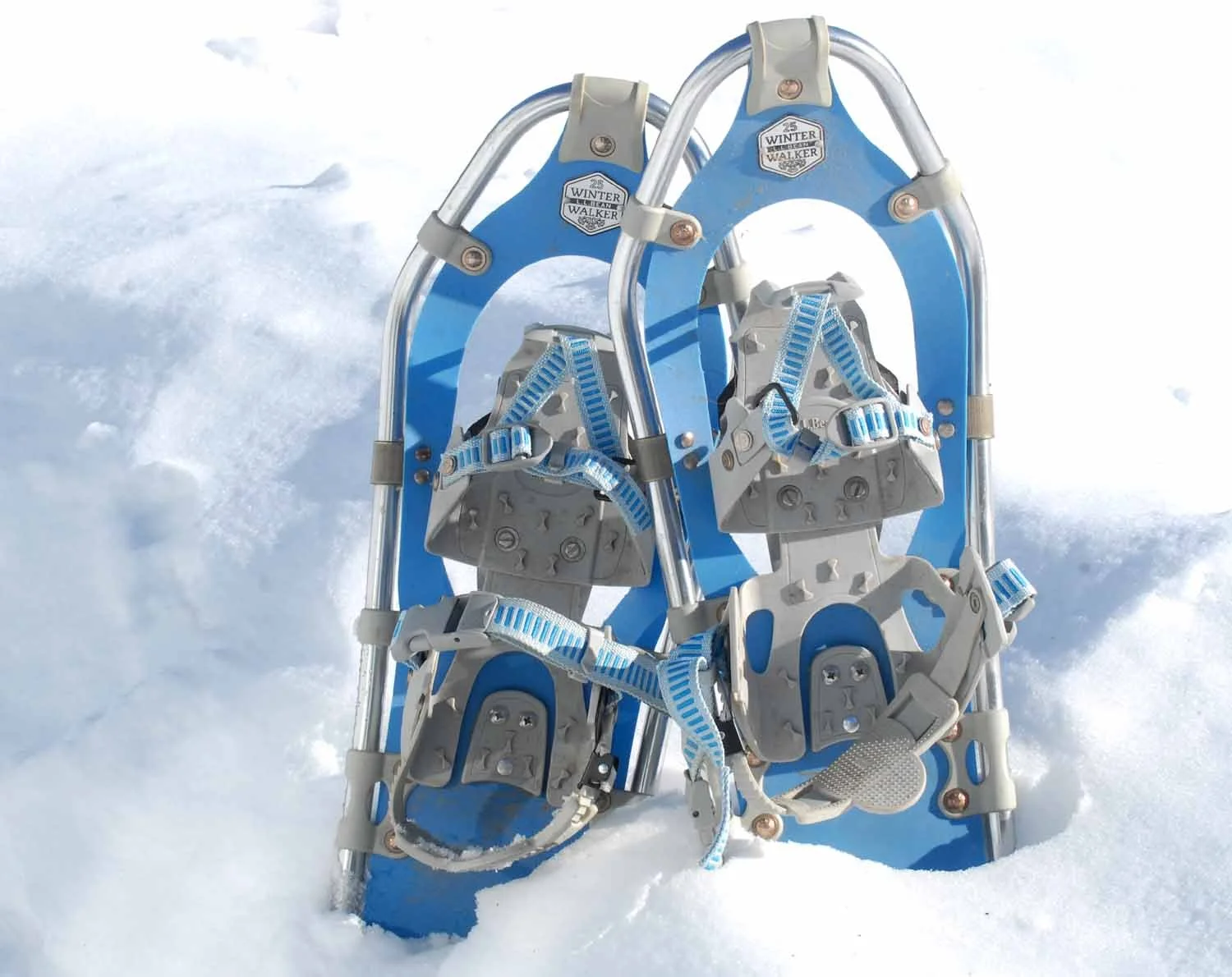
Or snowshoe.
Or YouTube how to replace that sulky hot water heater. (OK. That wasn’t on the list. But your beloved 1860s Colonial had other ideas.)
Or maybe you were going to make good on your promise to visit your favorite summer get-away through the lens of snow and fleece (maybe made while you were enjoying Minekill State Park’s January 1 First Day Hike) all winter long.
All good intentions. Admirable. Commendable. Easy, even.

Until February’s ennui set in and you realize you haven’t done any of them.
Root-Access has the answer.
Just Get in Your Car and Go.
If the sun’s out, if the roads are clear, you’ll find our backroads are just as beautiful–maybe more beautiful–under a blanket of snow.
Gas up the car and grab a co-pilot who can decide: Left? Or right? at every intersection.
Like we did on a -2 degree day (the sun made it seem warmer), bring your camera and take home shots to get you through until spring.
We started in Sharon Springs.
From there?
We just let the lefts and rights guide us.
Try it. Try us. Maybe you’ll fall in love with Schoharie County and want to relocated here, where you can live and work remotely in thee best of all beautiful worlds. Even in the winter.
OUR ROUTE
Route 20 at Sharon Hill, east to Carlisle, right on Lykers Road to the end, left on Grosvenors Corners Road, quick right onto Sagendorf Corners Road to Howes Cave, right onto Howes Cave Road to the Animal Shelter of Schoharie Valley (Schoharieanimalshelter.org/), closed today, but thinking ahead, we grabbed that bag of 5 cent returnables–a winter project actually accomplished–and left them in the shed to benefit the Shelter. (See how easy it is to become part of the community?)
Backtracking up the hill just a little to Industrial Drive to the Cave House Museum of Mining and Geology (they’re on Instagram and Facebook) at the original entrance to Howe Caverns, closed for now, but open for tours and talks in the summer.
Back across Sagendorf Corners Road to Enders Avenue and then Central Bridge, a historic hamlet and one-time railroad and mill hub built around a village green.
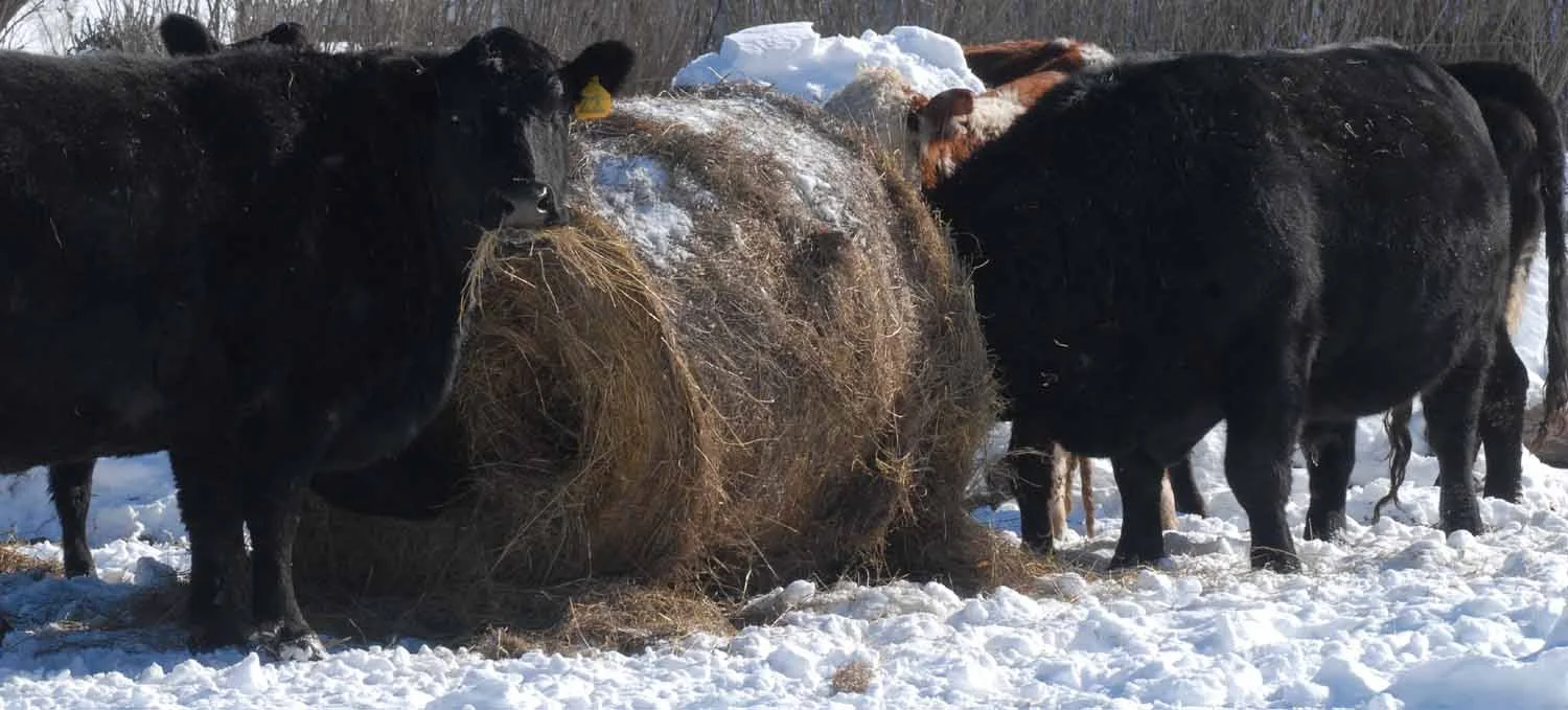
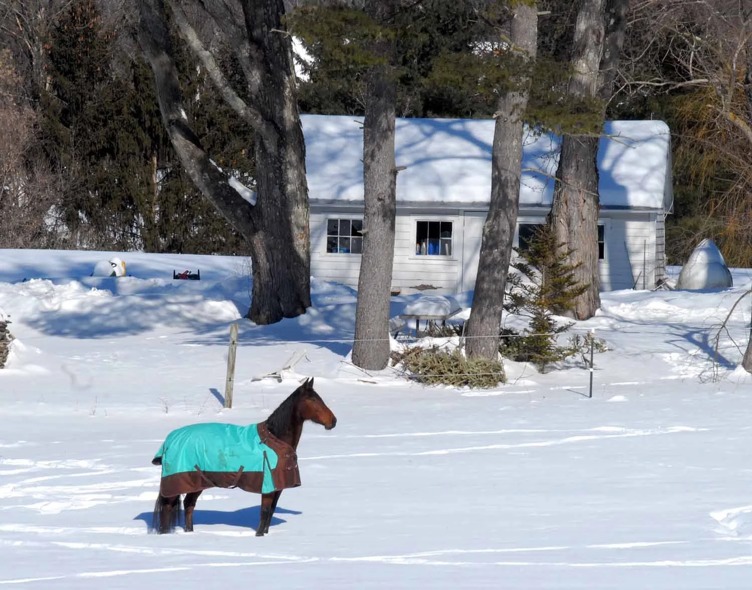
Up to Route 7, then right on Route 30 to Schoharie Valley Farms and the Carrot Barn (schoharievalleyfarms.com/), the place New York State Agricultural Commissioner Richard Ball calls home. The greenhouses are still empty, but in another month or so, you can enjoy lunch among the seedlings–something even better than a mailbox full of seed catalogs. Photo ops on your way there? Cows, cows, and more cows. And a horse or two.
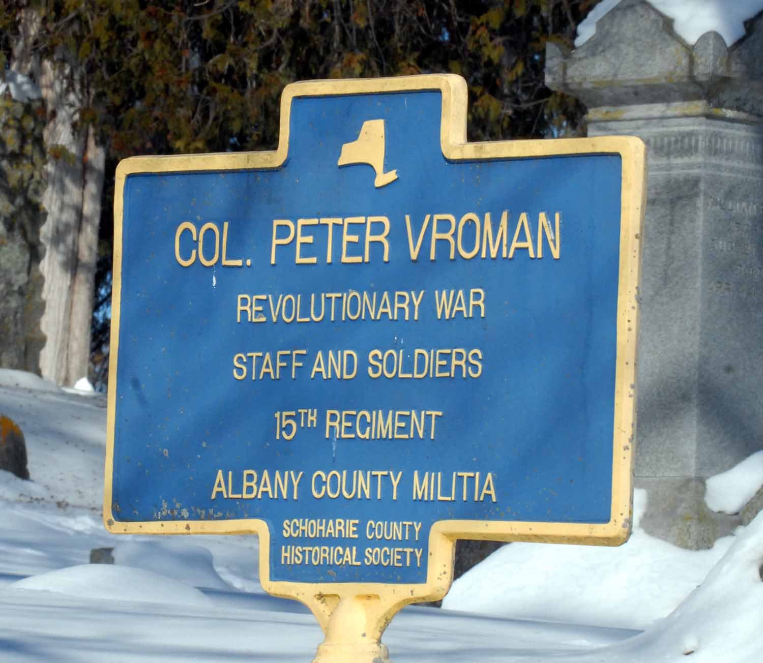
Sidetrack to the Old Stone Fort (Theoldstonefort.org/) for a peek at our only surviving Revolutionary War era “fort”, our #1 museum for local history, and two picture-perfect historic cemeteries.
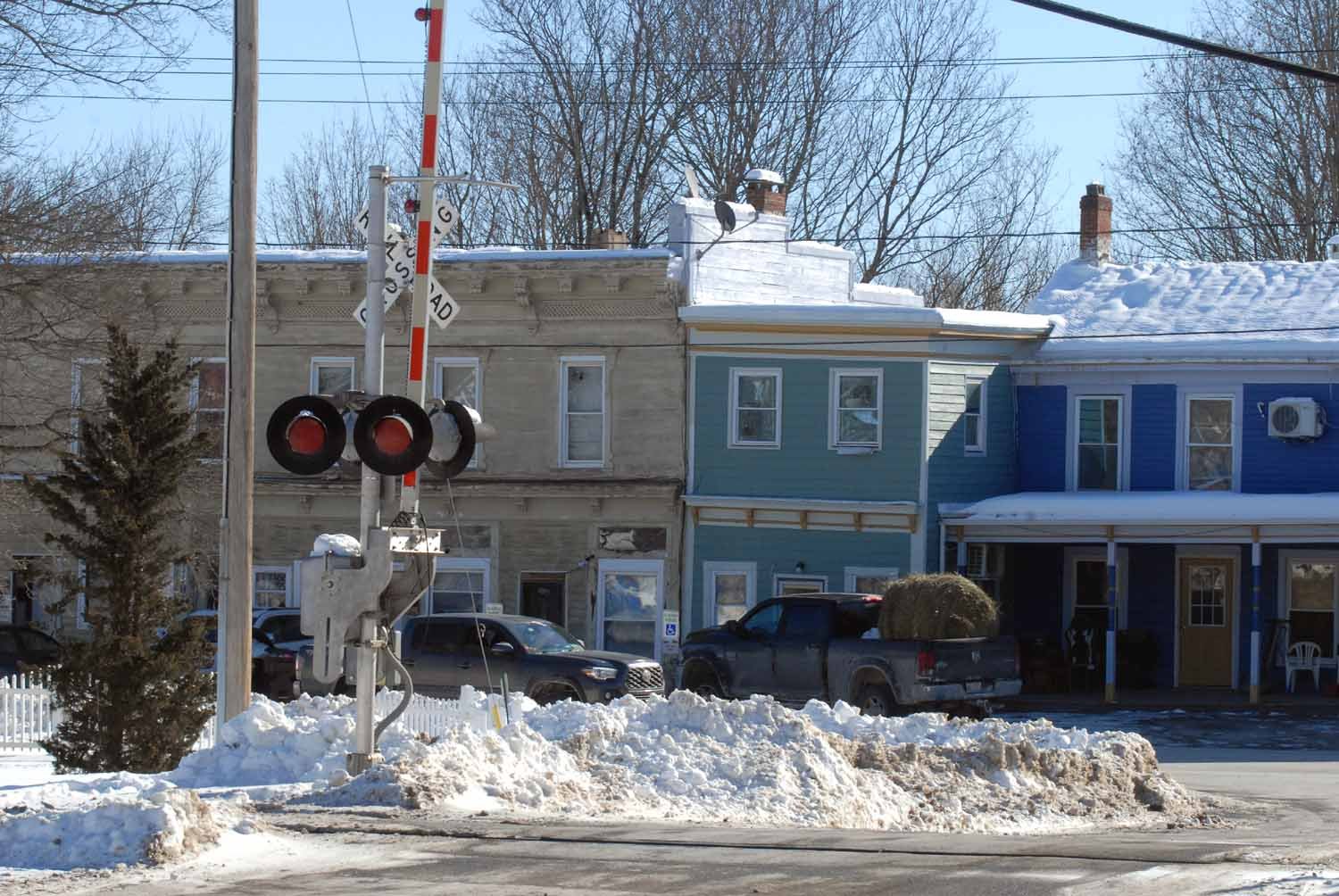
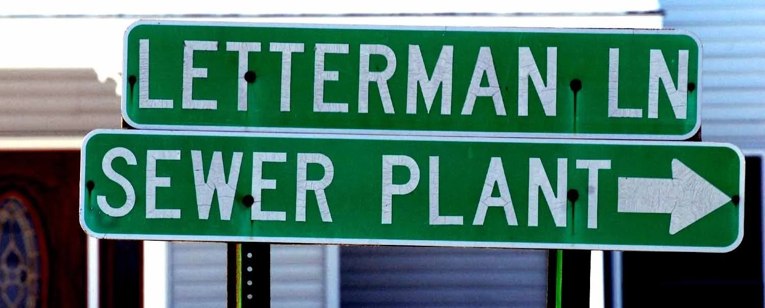
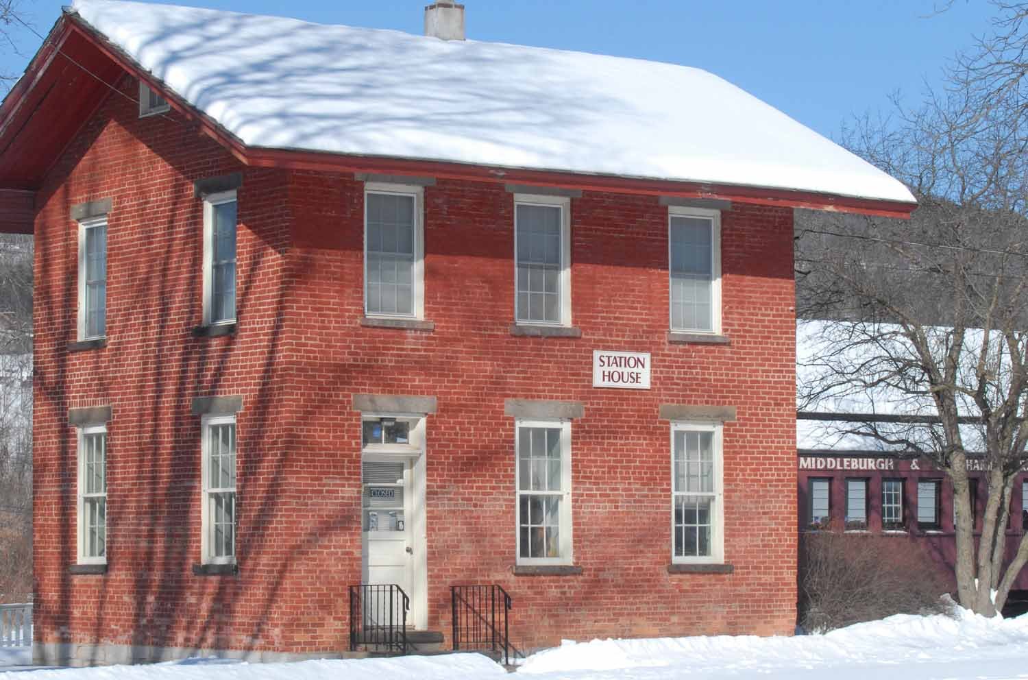
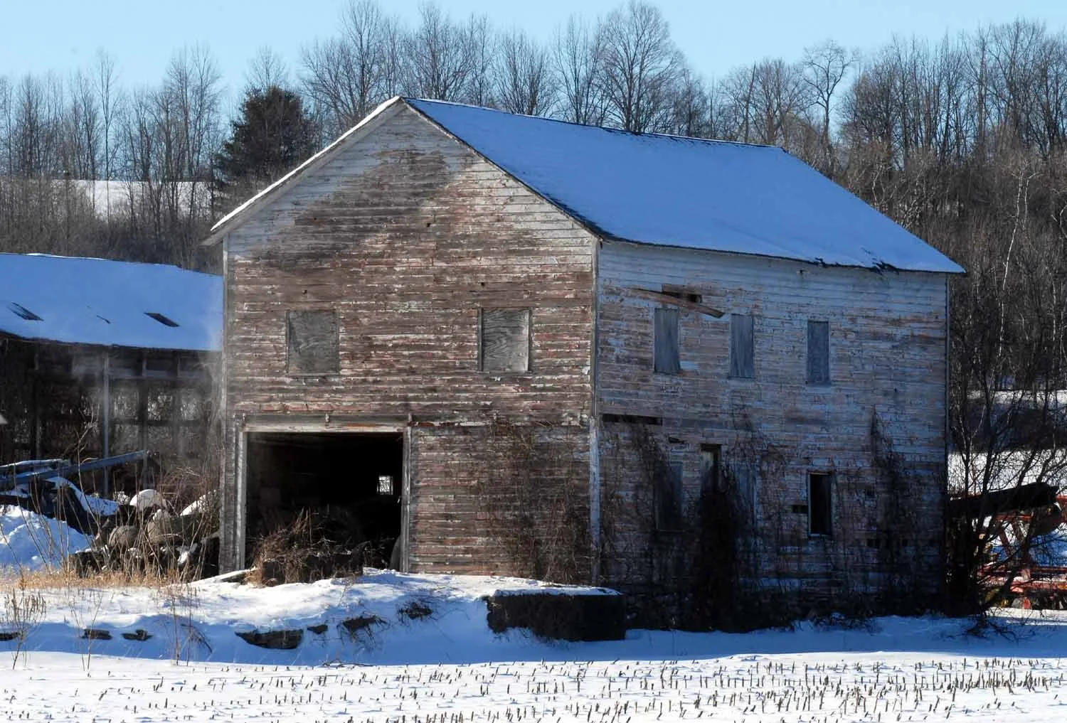
Still heading south, just before Route 30 becomes Main Street Schoharie, a right down Letterman Lane (yep, that Letterman. Sometime we’ll tell you that story) takes you onto the grounds of the Schoharie Valley Railroad Museum (schoharieheritage.org/) where, locally, the M&S Railroad followed on the heels of the Erie Canal as a major New York transportation portal.
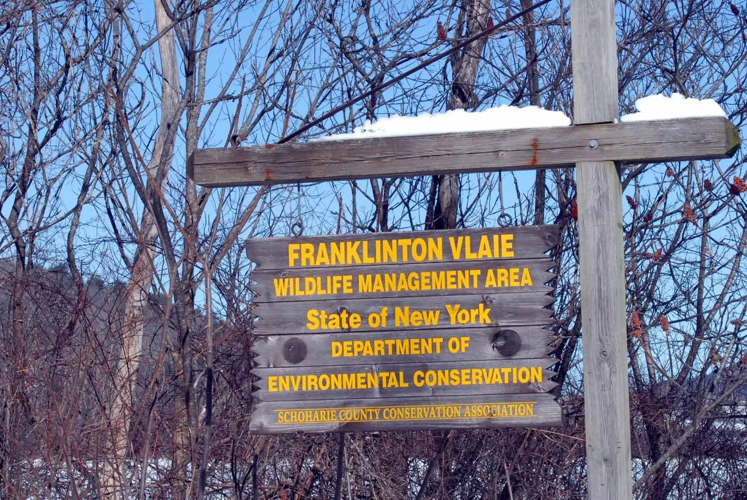
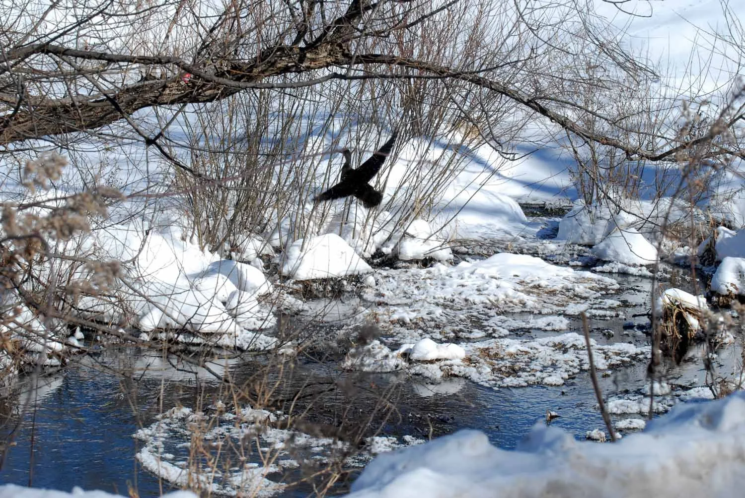
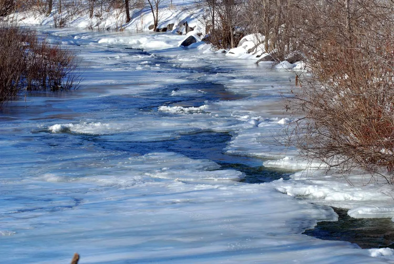
From there, Route 30 to Main Street, Middleburgh, hang a left and follow Route 145 to the Town of Broome and the Franklinton Vlaie. (What’s a vlaie, sometimes vly, sometimes fly? A swamp. The word comes from the Dutch, who were among Schoharie County’s first settlers.) The Franklinton Vlaie is home to multiple bald eagle nests (no eagles today, just a lone hen malllard) and a favorite spot for ice fishing and kayaking.
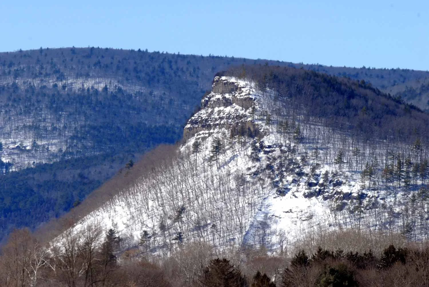
Heading back on Route 145, back toward Middleburgh, a snow-dusted Vroman’s Nose (trails to the top, even in the winter) looms on the left.
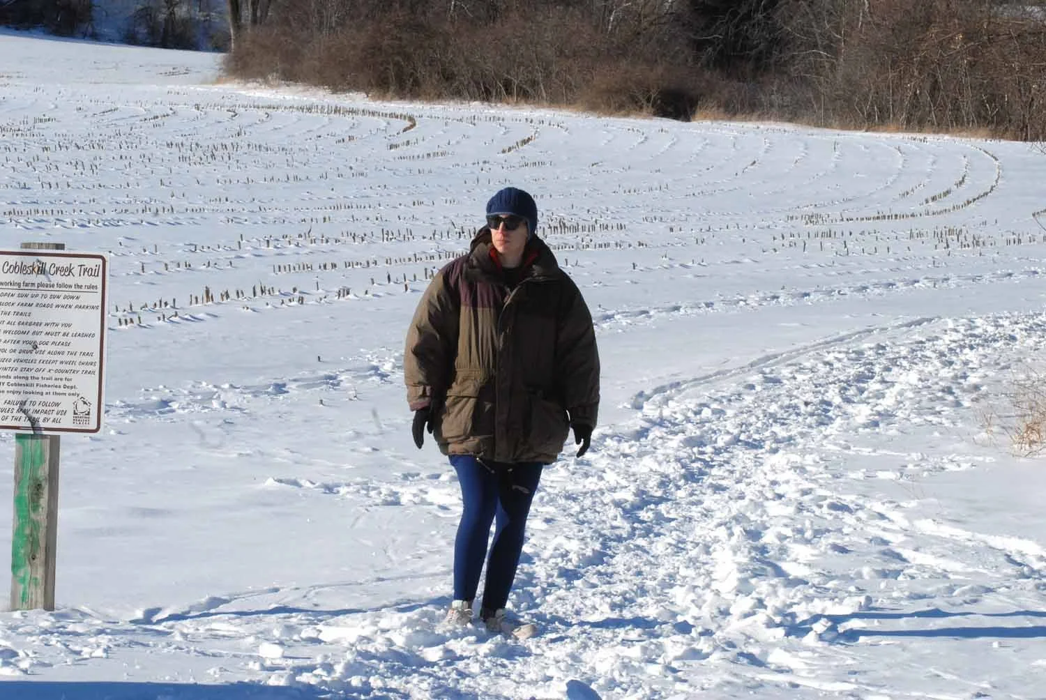
Route 145 to Cobleskill and then back to Route 7 through the village to the Warnerville Cutoff (a right just past the SUNY Cobleskill campus) and the Schoharie County Trail Association's short-jaunt hiking trail, another year-round meet-up spot for intrepid dog walkers and friends.
And then we’re done. Back to Sharon Hill for (not gonna lie), a nap. But it’s been a glorious drive with photos to get us through the spring.
What route will you choose for your Get in the Car and Go adventure? Let us know in the comments below. And if we’ve convinced you to give Schoharie County a look, check out some of the other resources we’ve put together at Root Access to help you make us your home.