In Schoharie County, One Road Leads To Another. Are You Open To The Possibilities?
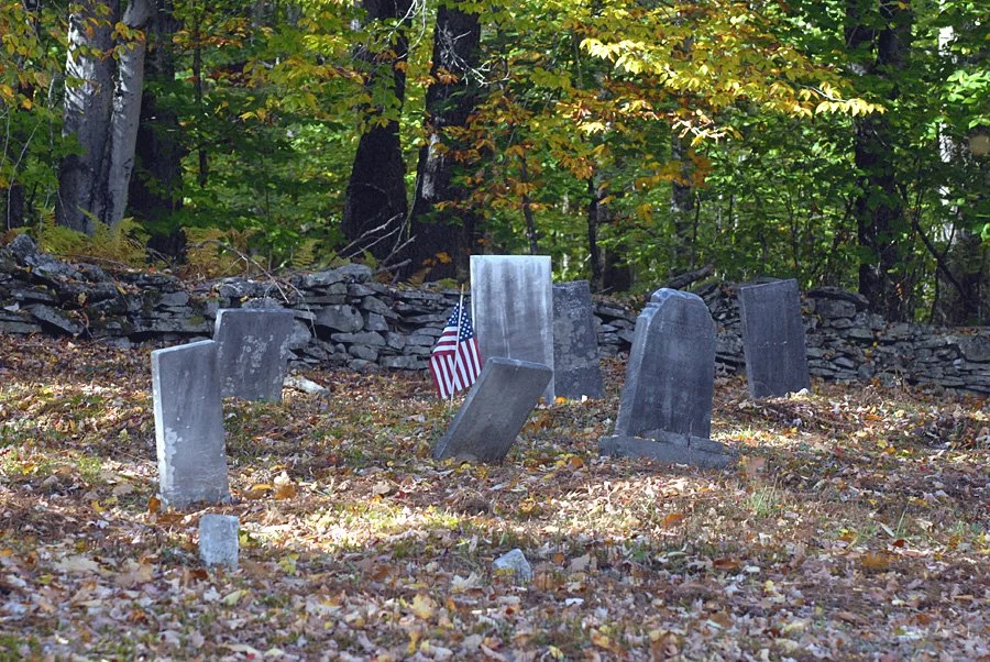
Back roads, forgotten hamlets (and cemeteries)…sometimes the veil is thin. Take a drive to Eminence, NY with Root-Access. Who knows where you'll end up.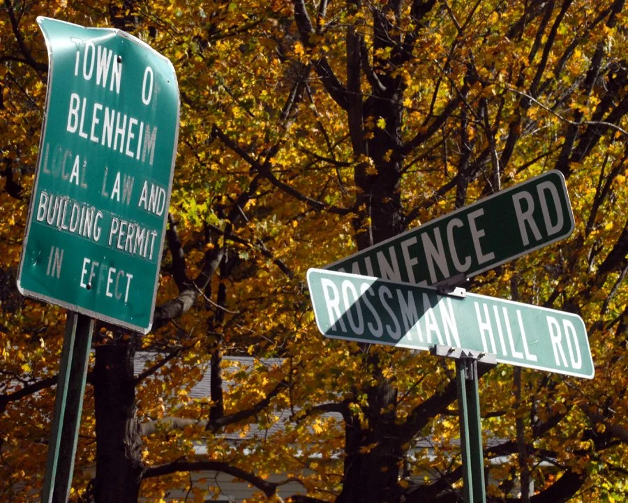
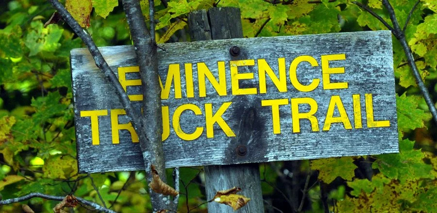
The signs mark the spot for the near-forgotten hamlet of Eminence, today a crossroads (and a cemetery) bordering thousands of acres of state land open to everyone.
In Upstate NY, it’s never a bad thing to be open to possibility.
Especially in Schoharie County, when an afternoon search for a not-quite-forgotten cemetery in a long-ago hamlet most people have never heard of takes you along back roads framed by hand-laid stone walls and statuesque trees to…well, wait for it. We’ll get there.
That hamlet?
Eminence, a forgotten piece of southern Schoharie County’s past on the edges of Summit, Fulton, and Blenheim that was once big enough for a telegraph line to Jefferson and Richmondville, two churches, a school, mills, shops, a general store and post office, and its own band.
Today, it’s a crossroads and a cemetery and part of thousands of acres of state land open for hiking, hunting, fishing, bird watching, exploring, and more.
It’s not really on the map unless you know where you’re going. Because past and present aren’t as far apart as they seem here and sometimes the veil is thin. [Best to use Google Maps for Eminence and Rossman Hill Road if you’re going that route. Sorry, MapQuest.]
Take your time and enjoy your ride to…
Eminence. But first, some history.
The first settlers arrived in Eminence in l794. They were farmers who relied on the land, milking cows and growing wheat, tobacco and hops. But it was always a marginal landscape with poor soils (those stone walls) and so they turned to the forests that surrounded them, building sawmills, shingle mills, cooper shops, wood tool factories and a paper mill on Betty Brook, West Kill, Panther, Doney Hollow, and Mill Creeks, and their tributaries.
But then, then history caught up with Eminence.
By the late 1800s, the woods were gone.
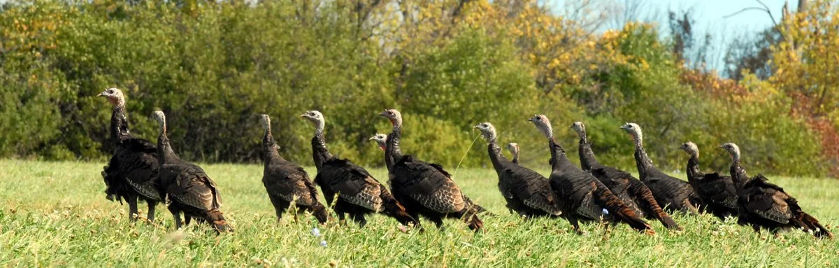
By the 1900s, wild turkey, beaver, black bear, wolf, eagle, and whitetail deer were all extirpated from Schoharie County and stream habitat for native trout and other fish nearly destroyed.
By l930, the state began buying up large tracts of abandoned farmland (for about $4/acre.)
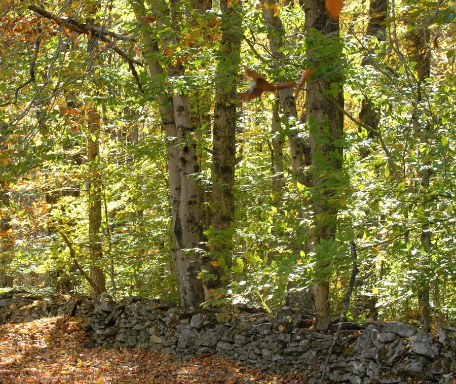
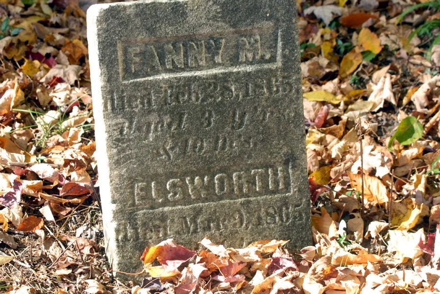
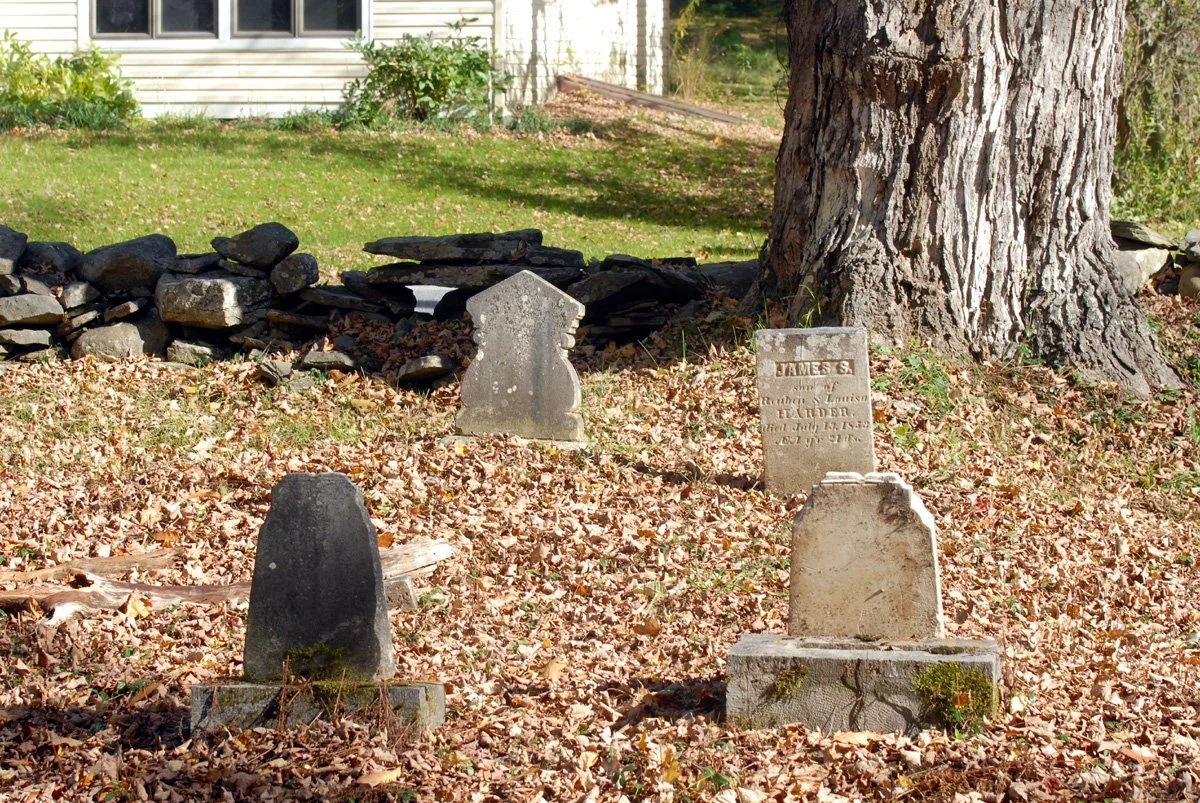
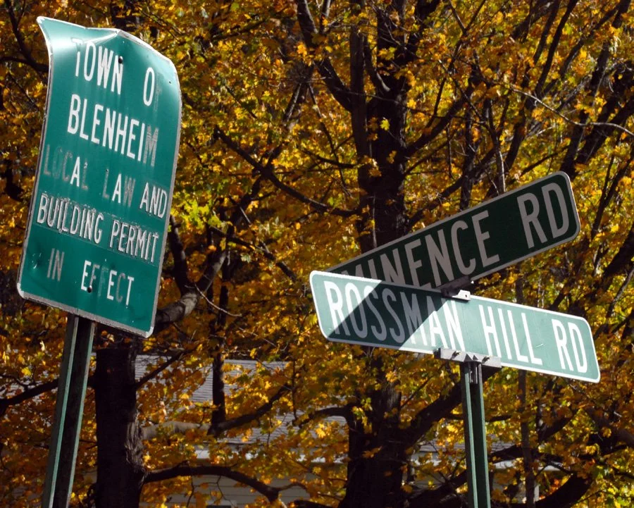
And then…
In 1934, a Civilian Conservation Corps camp was established at Boucks Falls (Fulton) and the “boys” in Roosevelt’s Tree Army joined State Forest crews in planting trees on thousands of acres. (Other CCC projects included timber stand improvement, stream improvement and protection, construction of truck roads, seed collection for the state tree nursery, and the construction of ponds for fire control. Nearly 100 years later, we’re still seeing the benefits of their labors.)
In the 1960s, Camp Summit, a youth correctional facility, was built on nearby state lands (again, Fulton). The inmates continued what the CCC had begun, working on forest road maintenance, wildlife habitat, stream, and timber stand improvement, and building and maintaining recreational trails. (Camp Summit eventually became Summit Shock Incarceration Facility, closing in 2011, and stands empty today.)
By the 1970s, those trees planted in the ‘30s were ready to harvest and to date, about 2.5 million board feet of timber, 22,000 cords of firewood and 67,000 cords of pulpwood have been sold for a total revenue to the state of more than $1 million.
All of it paying forward and getting us to where are today: 21,000-plus acres of state forests and land in Schoharie County with year-round recreational opportunities, including fishing and hunting.
Because many of the wildlife species that were once gone have returned to places like Looking Glass Pond, 23 acres built by the West Fulton Rod & Gun Club and DEC in 1996 on Rossman Hill Road, on the back side of Eminence, on the site of a 1840 mill pond. Stones from the grist mill it powered are on-site, honoring the families who first settled Rossman Hill in the 1800s.
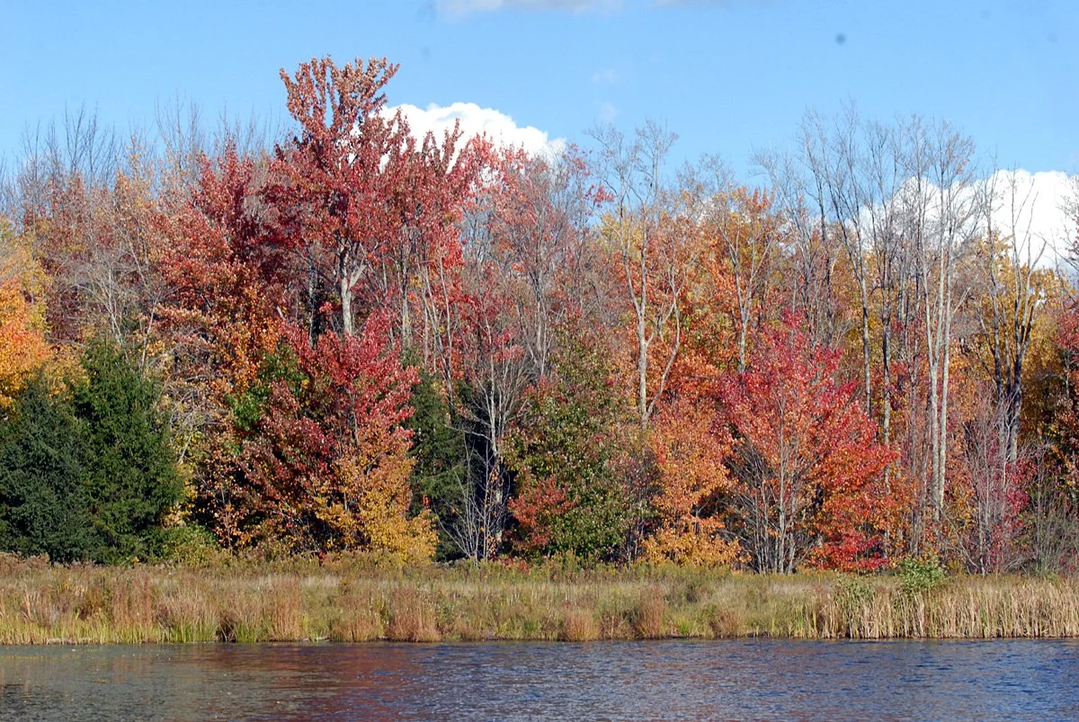
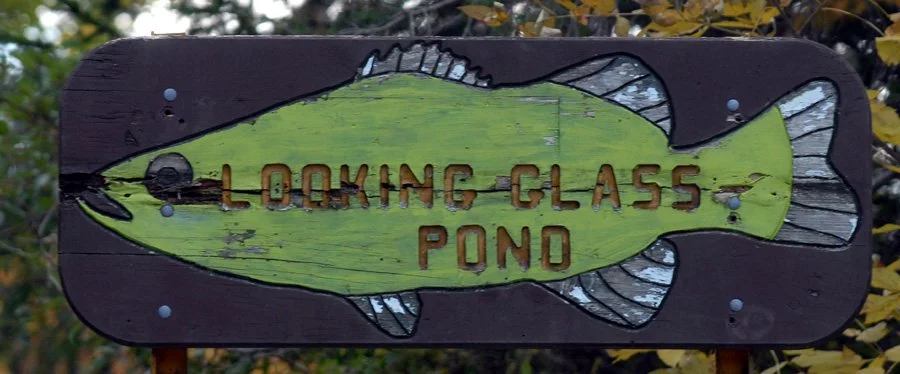
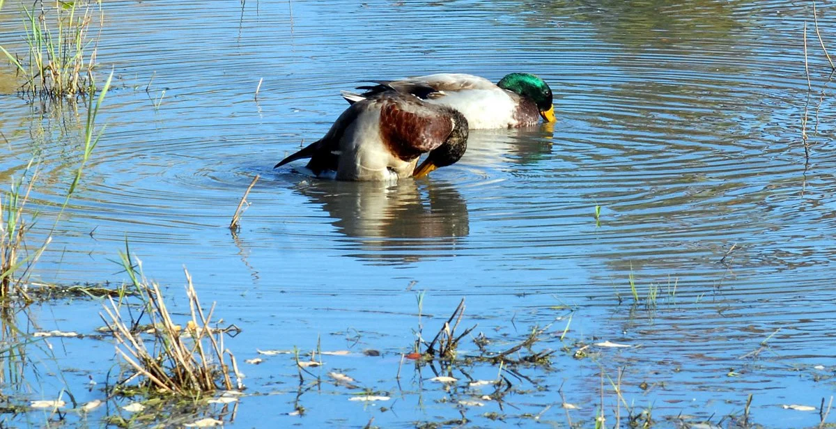
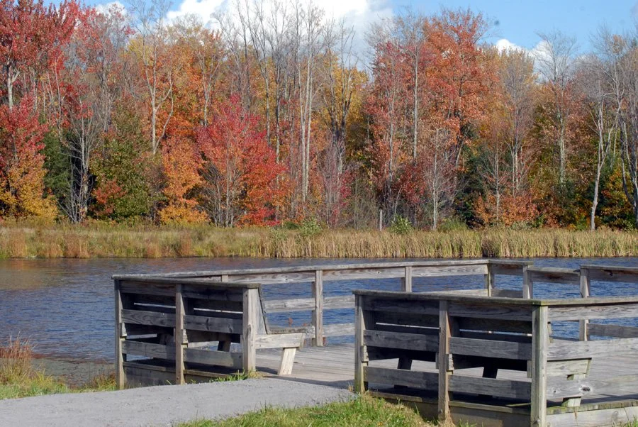
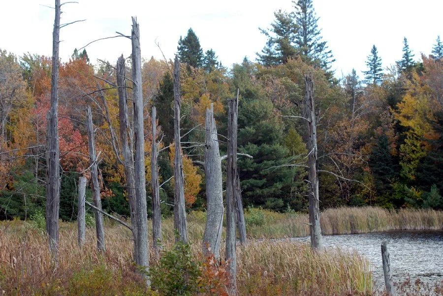
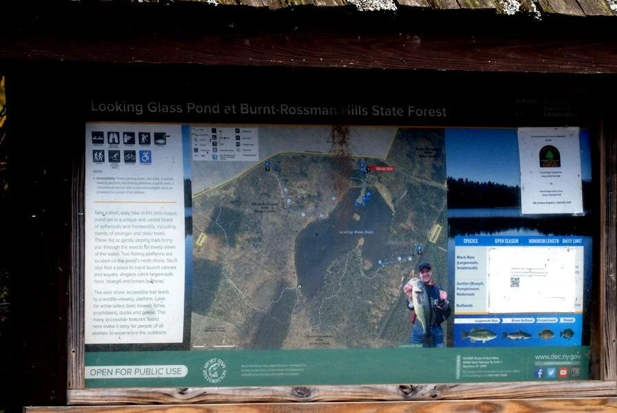
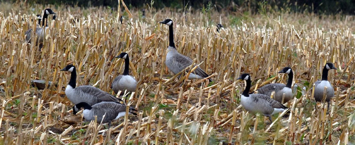
In addition to fishing (bass, sunfish and bullheads), there are two fishing platforms, picnic tables, three trails down to the water and a wildlife viewing platform and a canoe and kayak launch site. It’s a quiet, beautiful place.
Looking for more? We’ve got plenty, with free year-round access for hiking, hunting, trapping, snowmobiling, cross-country skiing, camping, and wildlife viewing, much of it with the same historic past as Eminence, where we began.
Here’s a start. (Most properties are managed out of DEC Stamford, (607) 652-7365.)
Major State Forests and Lands in Schoharie County
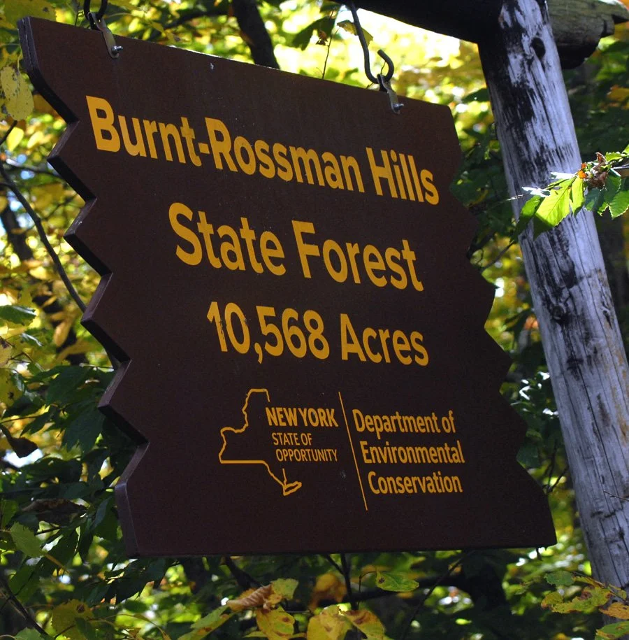
Burnt-Rossman Hills State Forest: Spans 10,568 acres across the towns of Blenheim, Fulton, Jefferson, and Summit (featuring miles of the Long Path, a lean-to, and primitive camping sites).
Keyserkill State Forest Complex: Comprises 2,400 acres across Fulton, Broome, Gilboa, and Middleburgh (including Armlin Hill, Keyserkill, and Gates Hill State Forests).
Lutheranville State Forest: Covers 1,817 acres across Worcester (Otsego County) and Summit (Schoharie County).
Scott Patent State Forest: Covers 1,220 acres in the Town of Broome.
Petersburg State Forest: Covers 1,094 acres in the Towns of Cobleskill and Fulton.
Dutch Settlement & Cotton Hill State Forests: Cover 1,007 acres and 504 acres respectively in Middleburgh, Schoharie, and Wright.
Clapper Hollow State Forest: Spans 818 acres in the Town of Jefferson.
Stone Store State Forest: Covers 732 acres in the Town of Broome.
Patria State Forest: Spans 2,161 acres in the Town of Fulton.
Bates State Forest: Located in the Town of Conesville.
Leonard Hill and High Knob State Forests: Located across Broome, Conesville, and Gilboa.
See you there?
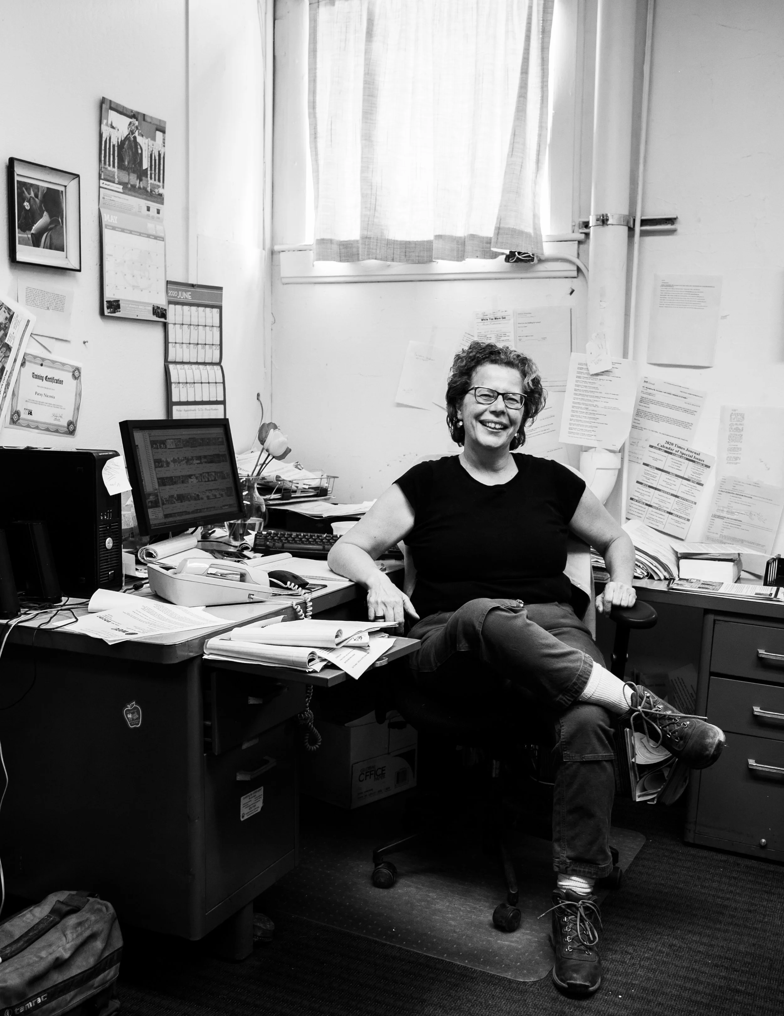
The writer…Root-Access writer Patsy Nicosia brings with her a lifetime of experience in local journalism, covering the stories that matter to Schoharie County and its neighbors through her award-winning reporting and photography for more than 40 years. She’s excited to now be working with SEEC’s Root-Access, sharing the stories of what makes Schoharie County…Schoharie County—from its history, to its neighborhoods, its arts scene and its tech possibilities, and mostly the people that connect us all.
Reach out to her at Patsynicosia@gmail.com.